3D TRACK MAP TRAIL #2

Work in Progress - 

NYC Subway 3D Track Map - Downtown

NYC Subway 3D Track Map - Downtown

NYC Subway 3D Track Map - Midtown and Midtown West

NYC Subway 3D Track Map - Midtown and Midtown West

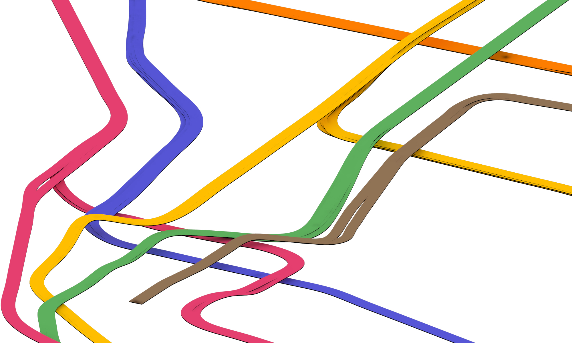
I tried to model the entire area of Manhattan below Central Park in 3D but turns out the lines are too thin and the changes in elevations look to subtle when you zoom out in a bird's-eye view. So I had to exaggerate the width of the tracks. But after rebuilding the 2D lines in Rhino the lines look so wiggly, so it looks a little weird now. I will try to make a cleaner and neater version! 

NEW PRINTS ARE HERE!!

I am excited and proud to share that the new batch of four prints are finally here! This batch includes four stations from downtown: Delancey Street - Essex Street (F / M / J / Z), Chambers Street - Park Place - World Trade Center (A / C / E / 2 / 3), Chambers Street - Brooklyn Bridge - City Hall (J / Z / 4 / 5 / 6), and Bleecker Street - Broadway - Lafayette Street (B / D / F / M / 6). I have to say, once the stations are not on numbered streets and avenues, I found it way harder to wrap my head around things - but I did it!

Check them out in our gallery and shop page! Apply promo code DOWNTOWN to get 10% off all orders.

 
Delancey - Essex

Delancey - Essex

Brooklyn Bridge - City Hall

Brooklyn Bridge - City Hall

Broadway - Lafayette

Broadway - Lafayette

World Trade Ceter

World Trade Ceter