When I had my first baby in Hoboken in 2020, I was told that I wouldn’t be discharged from the hospital without a car seat, despite the fact that I don’t drive and live only a few blocks away. I remember feeling that it set the tone for my parenting journey in New Jersey - Am I supposed to always drive my baby around?
The answer is no - it’s just that commuting with a child takes a little bit of research, some practice, and the right tools. I have always embraced public transportation as an individual, and after almost 4 years (I had my second baby 3 years after my first), I am glad to share that I am embracing it as a mom too. I have learned to enjoy the pros and expect the cons, and my kids are learning alongside me too!
Here are my list of solutions for moms in Hoboken who don’t own a car, illustrated:
Option 1- The Carrier
This is an obvious option, as long as you are not going into a car at any point and therefore won’t need a car seat, you are free to hop onto any kind of public transportation with a child strapped to your chest. I had the ErgoBaby one, but there are cheaper options out there.

Carrier
Option 2A- the Heavy Duty Stroller with Bassinet or Toddler Seat
The great thing about a heavy duty stroller (we have the Uppababy Vista) is that it has a lot of storage, and with the right clothing and blankets, it can keep your baby warm too. The biggest problem is that you are at the mercy of (working) elevators and ramps. And as with all the stroller-only options below, switching to a car is not an option.

Heavy Duty Stroller with Bassinet/ Toddler Seat
Option 2B- the Heavy Duty Stroller with Car seat
This option is great because not only do you have storage and can keep your baby warm, but you can take the car seat out and fold the frame when needed. Sometimes you plan to take the train but it starts raining, or a friend offers you a ride, or an elevator breaks. It’s good to have the flexibility to switch to taking a car.

Heavy Duty Stroller with Car Seat
Option 3- the “Transformer” Car Seat-Stroller
This (the Doona) doesn’t have storage at all, but it’s nice because it’s just one thing and once you practice a few times, loading and unloading is pretty easy. It’s not super lightweight, but light enough for you to take it up and down stairs if needed.

The Car-Seat-Stroller Combo
Option 4- the Umbrella Stroller
The umbrella stroller is light and cheap - if you are going to the city, it costs less than a single Uber ride. It takes up very little space at home and is easy to maneuver up and down stairs. Its biggest drawback is that it can be difficult to steer, often requiring two hands to operate.
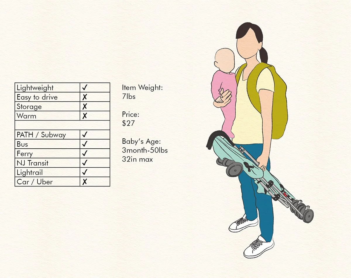
The Umbrella Stroller

Soon you'll realize you don't even need to fold the stroller to go up and down stiars

Actually, you don't even need to take your child out
Option 5- The Fancy Compact Foldable Stroller
The Yoyo is expensive, but it’s the happy compromise between the heavy duty stroller and the umbrella stroller. It has storage and is easy to drive, and it’s still light enough that you can bring it up and down stairs when needed.

The Fancy Compact Foldable Stroller

Same as the umbrella stroller, sometimes I don't even fold it going up and down steps
(Disclaimer: I have no affiliation with any of the companies that made these products, and this is by no means an exhaustive list.)
So here you have it! I do think cars have a place in Hoboken, especially for families, but if you want to go to NYC with your kids and don’t want to worry about parking, or if you are tired to strapping a screaming child into a car seat, or if you are feeling adventurous and want a change of scenery, I hope this piece gives you some ideas. And I certainly hope it saves you some mistakes I have made, like bringing the umbrella stroller and the car seat without its frame into the PATH train.. what was I thinking?!

My excuse is that my baby was born during Covid... so I had no clue how to lug her around town...
Thankfully both my girls have survived my learning curve, and have always enjoyed hopping on the trains, playing peekaboo with strangers, and watching live performances (when in the NYC subway).
Lastly here is a list of resources you might find helpful - I hope to write more about specific modes of transportation soon:
The “Buy Nothing Hoboken” facebook group It never hurts to ask if someone is trying to get rid of something, or if someone is willing to lend something to you. You’d be surprised!
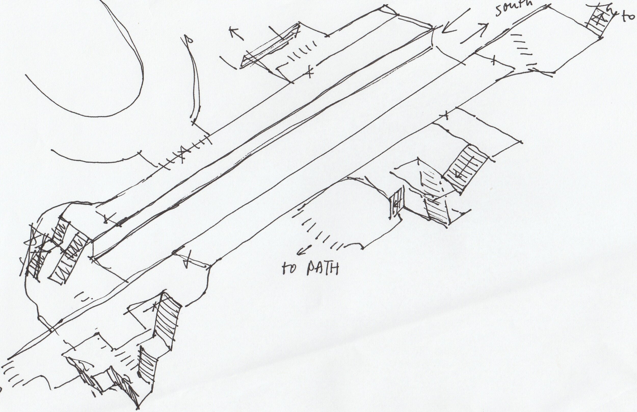
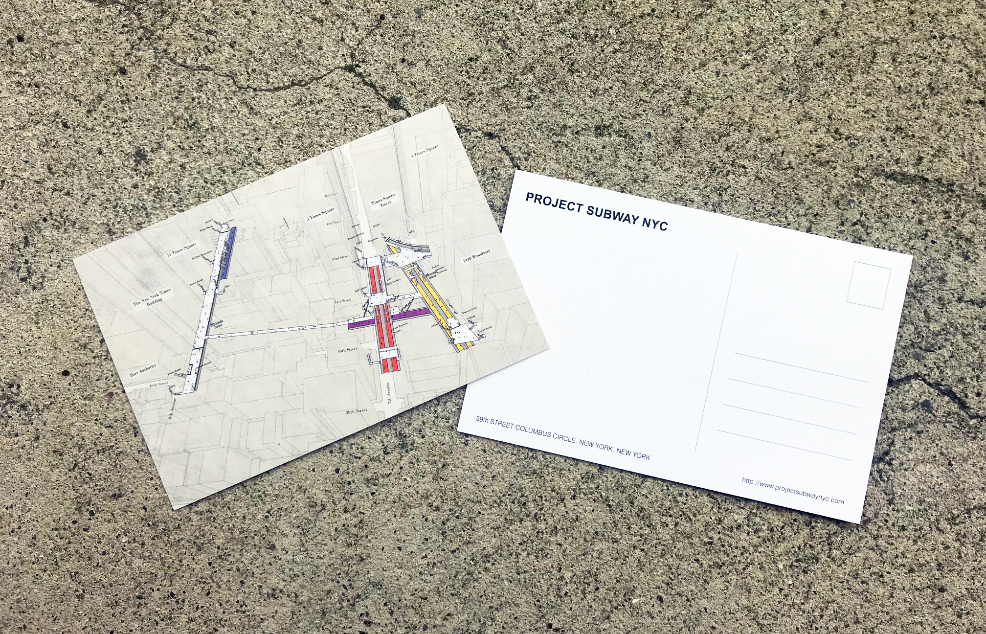
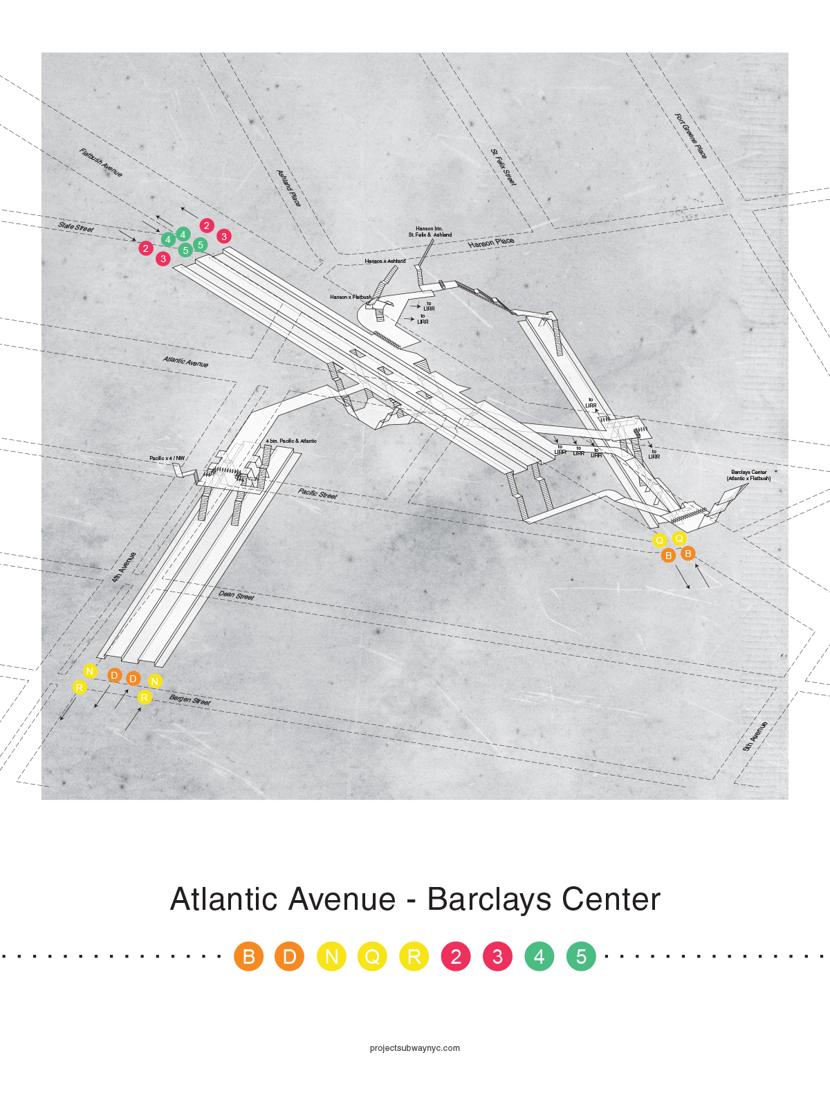
My 3D PATH station maps (unfortunately I haven’t mapped the elevators yet… but on that note, the 14th Street station now has elevators, and I plan to update my drawings with that info. Stay tuned!)