Hello world!! It's been a while!
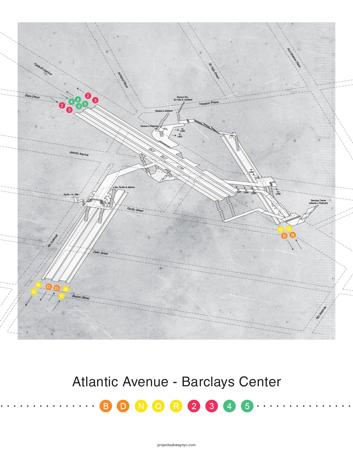
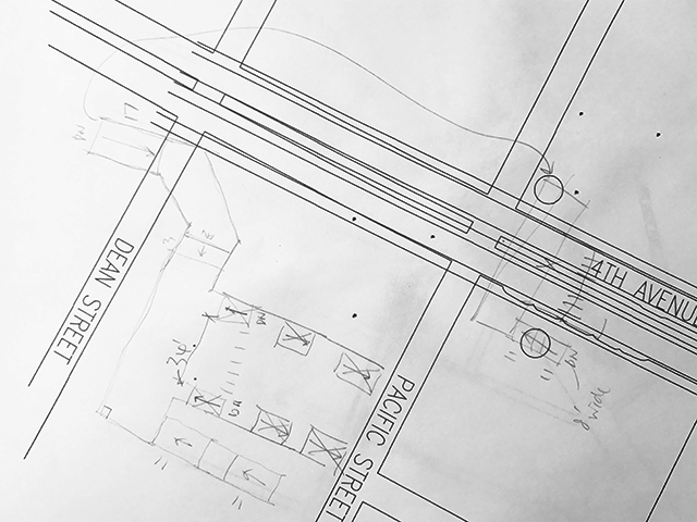
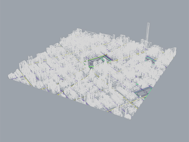
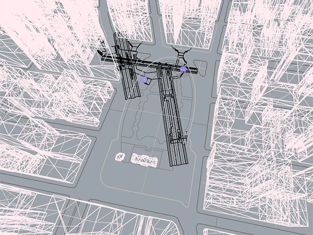
I am so excited to announce that our new drawing series is finally here - X-Ray Station Clusters!
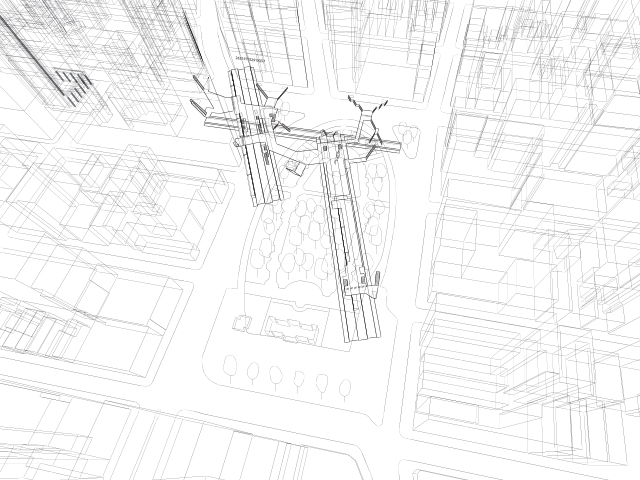
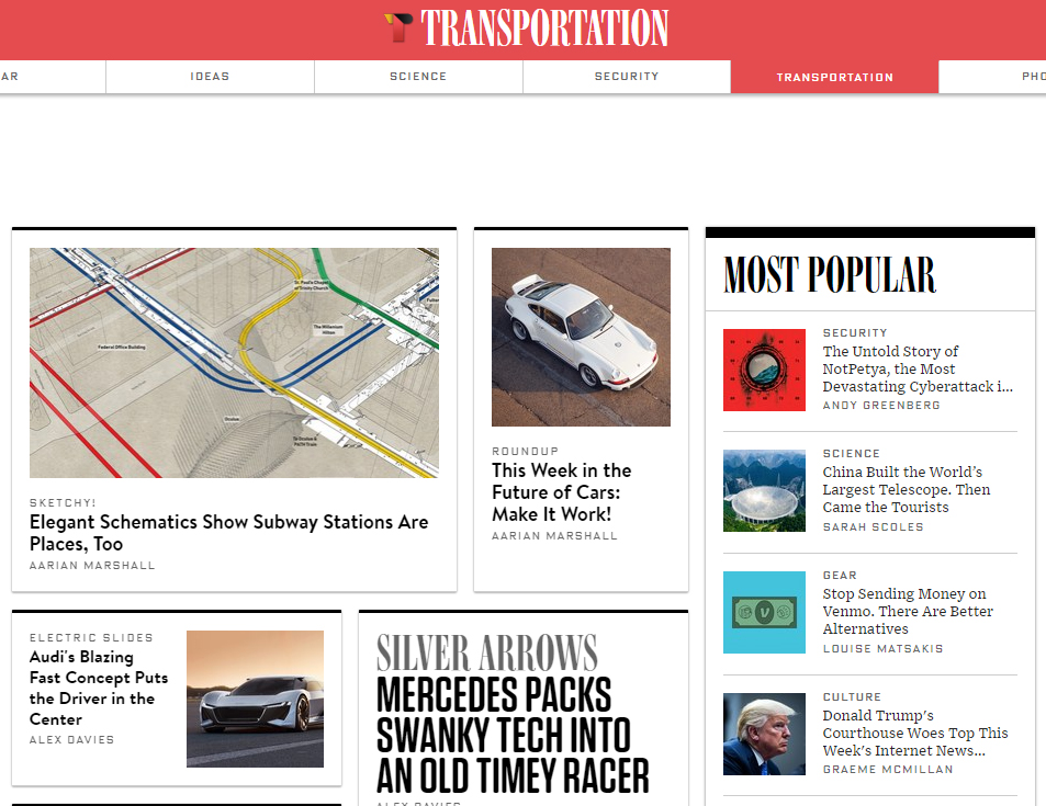
This time around, instead of one station per drawing with colored platforms, we have multiple stations per drawing and colored tracks that connect them all. See how complicated and crazy this intertwining network is! We focused on two main areas - Downtown Brooklyn and Downtown Manhattan, both with stations very close to each other, hence, the clusters.

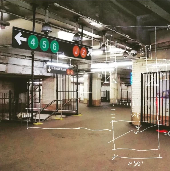
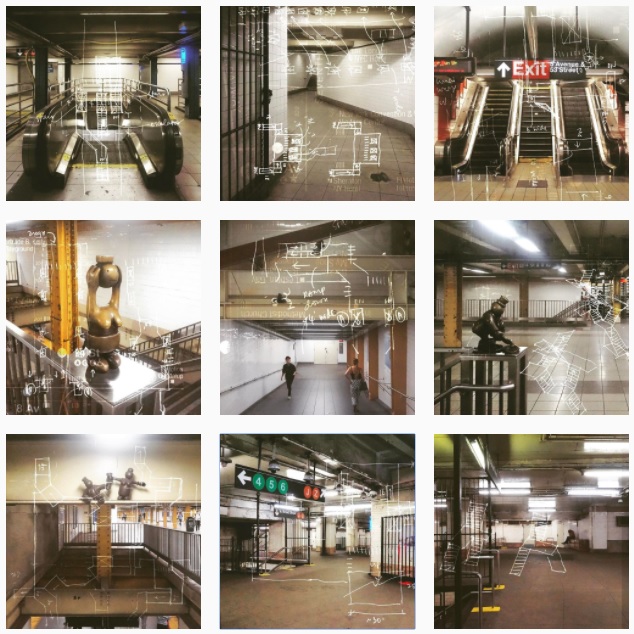
How to get to the Oculus without setting foot above ground

A lot going on under Borough Hall in Brooklyn!
Check them out, and also check out this feature on Wired!
We are super thrilled to be featured on Wired!!