STATION FOOTPRINTS IN APPLE MAP

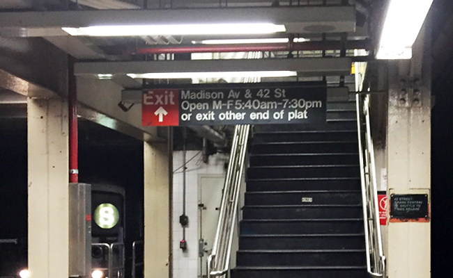
For the longest time, subway stations were represented by a singular symbol "M" on most map apps. I just realized recently that since iOS 9, apple map has been showing the footprints of the stations in faint pink, and individual exits in little orange dots, like in this screen shot:

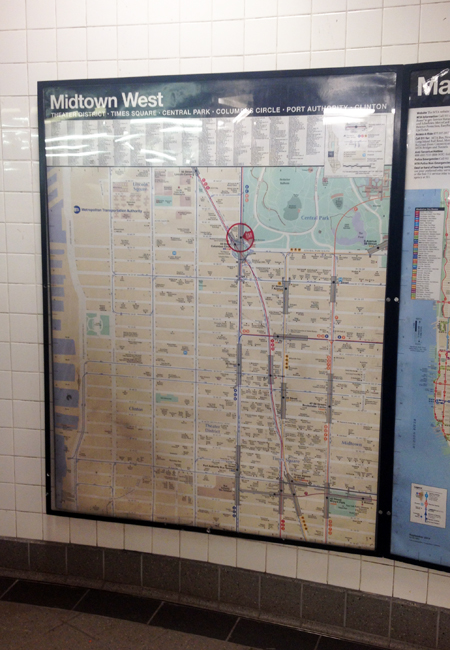
Even though these are 2-D, this additional layer of information is in line with the goal of Project Subway NYC, which is to understand the subway stations not as a single point in space, but as part of a network that branches to various destinations in the city. So now if you have an iphone, you don't have to rely on MTA's neighborhood maps alone. Pretty neat, pretty neat!

ALMOST THERE - 42nd street grand central

The subway may open 24 hours a day, but some of the exits do not! As I do research on the last station of my second batch at the 42nd Street Grand Central Station, I realize quite a few exits open to the inside of office buildings, and they only open on weekdays, during office hours:

42nd Street Grand Central Station Snapshot

42nd Street Grand Central Station Snapshot

42nd Street Grand Central Station Snapshot 2

42nd Street Grand Central Station Snapshot 2

Once I am done with Grand Central, the remaining tasks are organizing and formatting. My goal is to do my second launch - with 5 new images - on or before Cyber Monday, 30 Nov. Stay tuned!

GETTING STARTED

I am an architect, so I am no stranger to surveying spaces from scratch. Still, it would be great to have something to base my drawings off of. To begin my quest, I went into the stations to look for the maps that tell you where the exits are. They look like this:

And so I thought alright, I’ll just have to go to each station to take a picture of the map. And then I thought, is there a chance these maps are online? So I went home and did a quick search and bam! Here they are:

Find all neighborhood maps like this one at http://web.mta.info/maps/neighborhood_maps.htm

Find all neighborhood maps like this one at http://web.mta.info/maps/neighborhood_maps.htm

They are called “neighborhood maps” under “maps” in mta.info

They are neither editable nor printable, but a quick print-screen will do. With them, I am ready to go out and take some actions!