When I started this project, I naively thought I could just go walk around in the stations, take some pictures, and sketch the stations out casually like this:
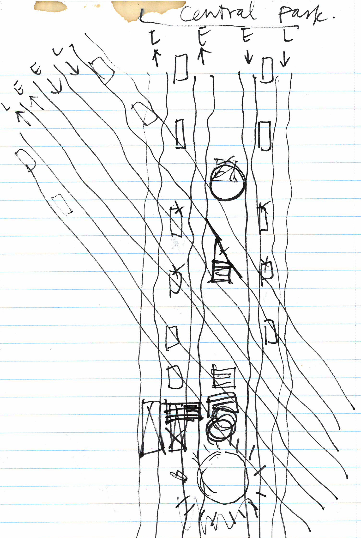
But in reality, it was way harder than I thought. In order to work out where things are relative to each other, I had to developed a process to visualize the stations step by step. First, I document the entrances (from streets to turnstiles) on the neighborhood maps:

Then I make 2D drawings in the computer:

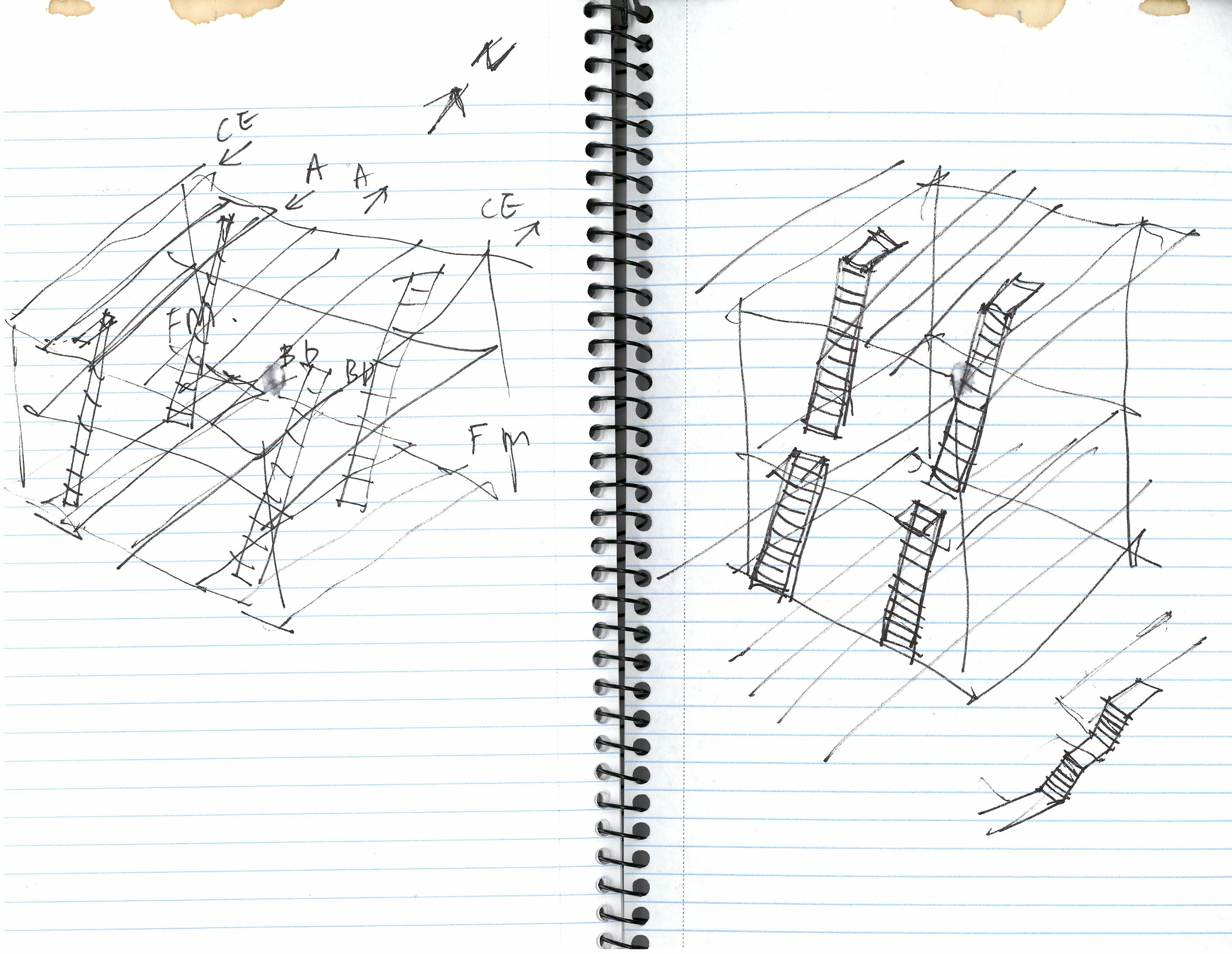
And then I go back and sketch some more, verifying my guesses and adding things I missed:

Then I model it in 3D:

And I render it:

And all of these steps kinda go back and forth and back and forth until I get the overall picture. The final graphic will be a combination of all of these. Almost there!